|
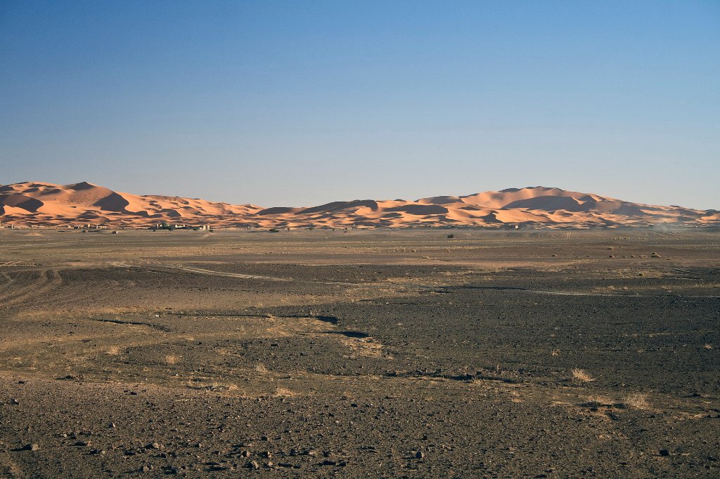 |
| The sanddune of Erg Chebbi | |
| Latitude: N 31°15'59,47" | Longitude: W 4°2'45,81" | Altitude: 761 metres | Location: Merzouga | City: Erfoud | State/Province: Meknès-Tafilalet | Country: Marokko | Copyright: Ron Harkink | See map | |
| Total images: 18 | Help | |
|
|
|
| The sanddune of Erg Chebbi | |
| Latitude: N 31°15'59,47" | Longitude: W 4°2'45,81" | Altitude: 761 metres | Location: Merzouga | City: Erfoud | State/Province: Meknès-Tafilalet | Country: Marokko | Copyright: Ron Harkink | See map | |
| Total images: 18 | Help | |